
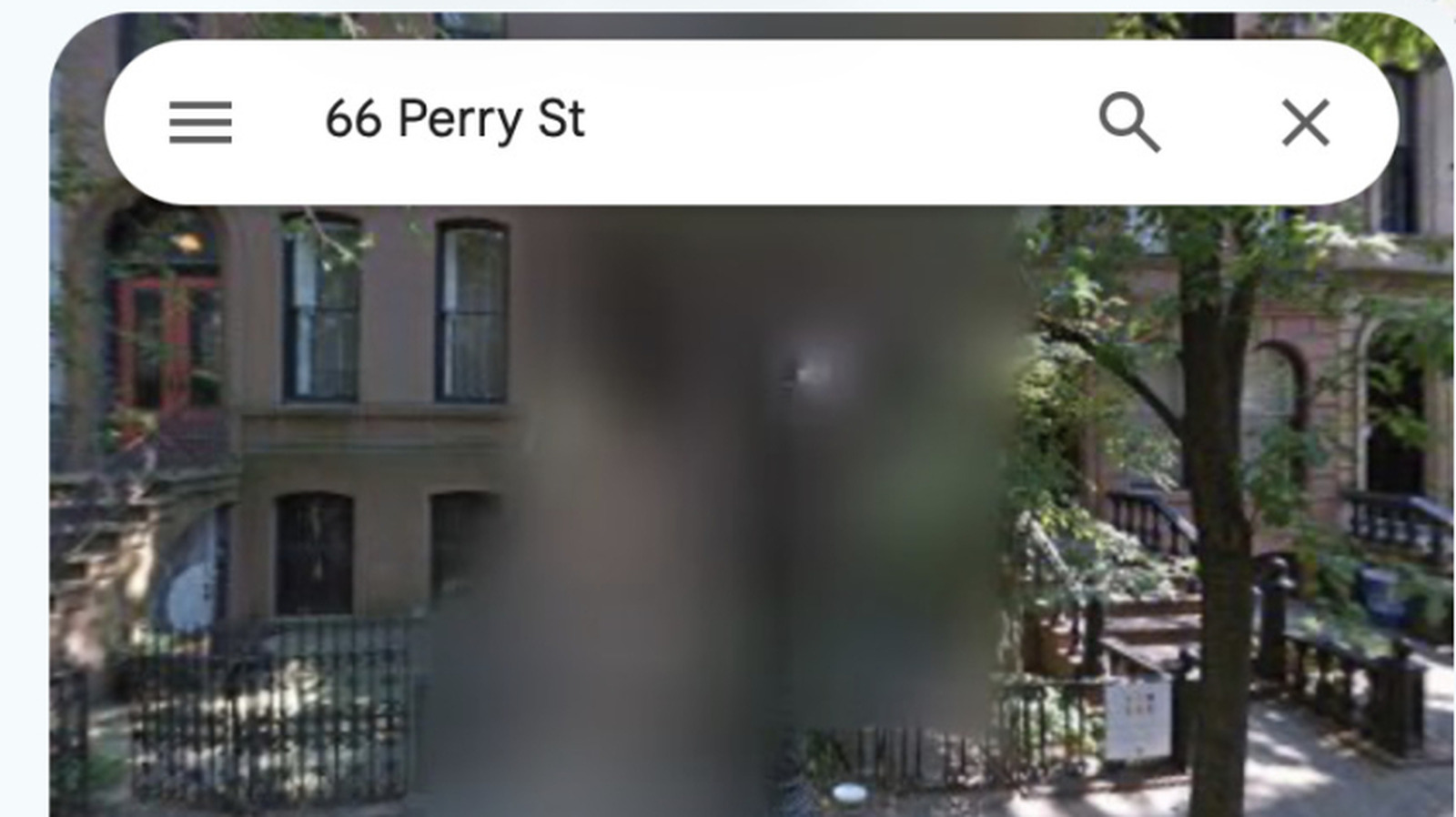
Users frequently encounter blurred-out areas while navigating Google Maps, a phenomenon that often sparks curiosity regarding the platform's mapping policies. According to recent insights, these redactions are primarily implemented for security and privacy reasons. Google utilizes automated technology to blur faces and license plates, but specific locations—such as military bases, government facilities, or private residences upon request—are also obscured to protect sensitive information. This practice ensures that high-resolution imagery does not inadvertently expose critical infrastructure or compromise the safety of individuals. While the process is largely automated, the company maintains a mechanism for users to request additional blurring for their homes or vehicles. Ultimately, these measures reflect a balance between providing comprehensive global mapping data and adhering to international security standards and individual privacy rights, ensuring that the platform remains a safe and useful tool for the general public.
This is a summary. Read the full article at the original source:
EngadgetRelated stories

For 25 years, the origin of the seed values for the NIST P-192 through P-521 curves remained a mystery. Provided by the NSA without explanation, they…

Researchers uncover 'AdFection' zero-click spyware campaign delivered via online ads
Cybersecurity researchers at Citizen Lab have identified a sophisticated zero-click spyware campaign dubbed 'AdFection' that infects devices through m…

A recent investigation has revealed that a prominent advertising technology company was utilized as a distribution vector for mercenary spyware. The r…