
Flock Safety Seeks Removal of Detailed Surveillance Camera Map
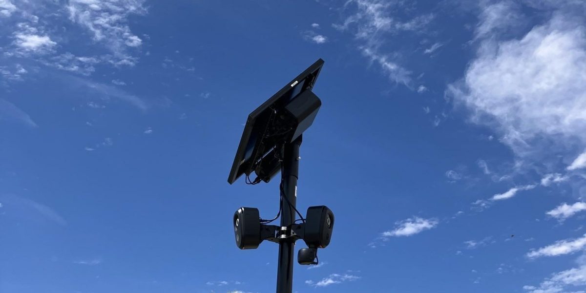
Flock Safety, a prominent provider of automated license plate recognition (ALPR) systems, is actively working to remove a comprehensive, publicly accessible map detailing the locations of its surveillance devices across the United States. The map, which reportedly identified approximately 300,000 cameras, has sparked significant debate regarding privacy, transparency, and the extent of private-public surveillance partnerships. Critics argue that the widespread deployment of these devices creates a pervasive tracking network that operates with limited public oversight. Flock contends that the map poses security risks to its infrastructure and the communities it serves. As local law enforcement agencies increasingly rely on Flock’s data, the incident highlights the growing tension between public safety initiatives and the right to privacy. The move to obscure these locations underscores the broader challenges of regulating private surveillance networks that integrate directly with government law enforcement databases.
This is a summary. Read the full article at the original source:
Hacker News (YC)Related stories

A recent investigation by MIT Technology Review highlights significant failures in the US government's multi-billion dollar 'virtual wall' project. Ov…

Recent high-level discussions between the US and China have left existing AI export controls largely unchanged, maintaining a fragile trade truce. Des…

Flock Safety CEO Garrett Langley has become the target of an online campaign following growing public scrutiny over the company’s surveillance technol…