
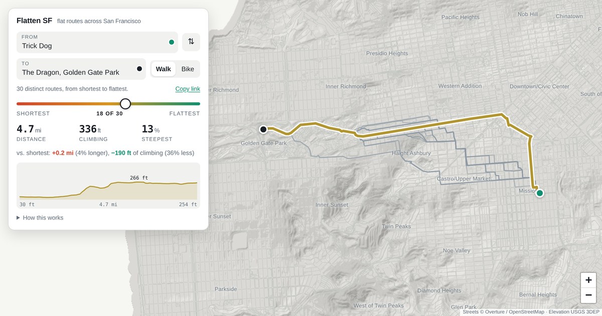
FlattenSF is a new web-based tool designed to help San Francisco residents and visitors navigate the city's notoriously steep terrain. By leveraging topographical data, the platform calculates routes that prioritize flatter paths, allowing users to avoid the most strenuous inclines when walking or cycling. The project has gained traction on platforms like Hacker News, where users have praised its practical application of mapping technology to improve urban mobility. While San Francisco is famous for its hills, this tool offers a data-driven solution for those looking to optimize their commute or leisure walks. The minimalist interface allows for quick point-to-point routing, demonstrating how niche mapping applications can solve specific local challenges. As a community-driven initiative, it highlights the growing trend of developers creating hyper-local utility tools that enhance the quality of life in major metropolitan areas.
This is a summary. Read the full article at the original source:
Hacker News (YC)Related stories

In his latest reflection, the author explores the fundamental question of whether a software project or startup idea is truly worth building. He empha…

AI chip startup Etched is reportedly attracting significant investor interest, with new funding offers suggesting a valuation exceeding $40 billion. T…

Menlo Ventures has officially announced an investment in Factory, a move that comes just days after Vinod Khosla publicly criticized the startup, labe…