
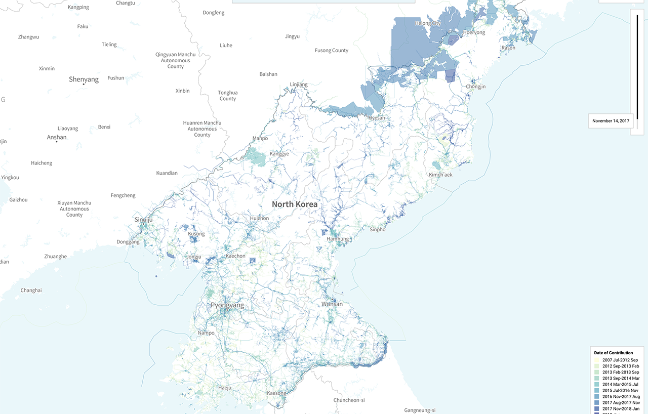
Cartographers of North Korea is an insightful digital project that explores the mapping and geographical representation of the isolated nation. By aggregating satellite imagery, open-source intelligence, and historical data, the project provides a unique perspective on how North Korea is visualized and understood by the outside world. The platform highlights the challenges of gathering accurate spatial data in a closed society, where traditional mapping methods are often restricted or unavailable. Through interactive visualizations, the site allows users to explore various regions, infrastructure, and urban developments that are rarely seen by the public. This project serves as a significant resource for researchers, journalists, and curious observers interested in the intersection of technology, cartography, and global politics. It demonstrates the power of modern data analytics and remote sensing in uncovering hidden landscapes and providing transparency in regions where information is strictly controlled.
This is a summary. Read the full article at the original source:
Hacker News (YC)Related stories

A development team has introduced a solution that changes how Databricks expenses are monitored. Instead of relying on separate dashboards to track co…

The developers of DuckDB have released a detailed technical breakdown explaining the performance improvements introduced in version 2.0. The article h…

I wanted to pick a bakery based on reviews, but ended up writing an anomaly analyzer with embeddings and graphs
The author of the article encountered difficulties finding reliable reviews on Yandex Maps, which led to the creation of ReviewScope. This tool is des…